Ōkorihi
Location
New Zealand
35° 27' 41.6592" S, 173° 44' 51.9288" E
See map: Google Maps
NZ


About
3846
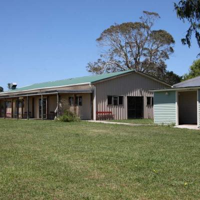
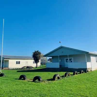
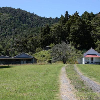
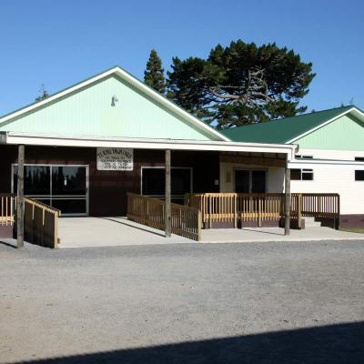
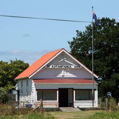
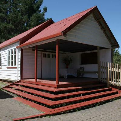
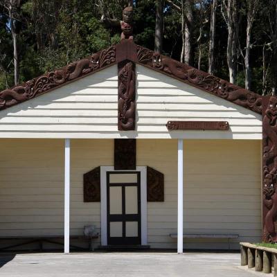
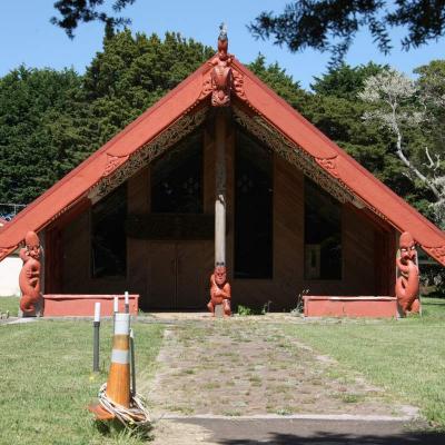
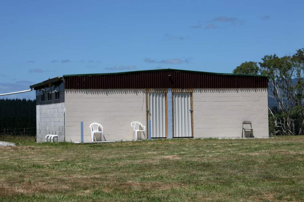
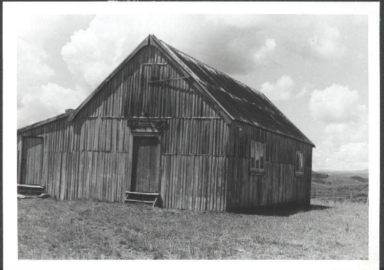
Ōkorihi marae is south-west of Kaikohe off State Highway 12. The principal hapu are Ngāti Ueoneone, Ngāti Hinemutu and Ngāti Tautahi of Ngāpuhi.
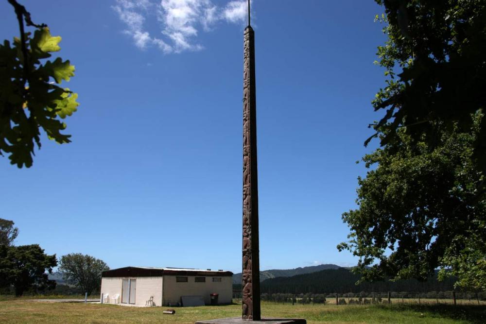
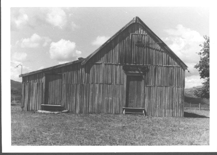
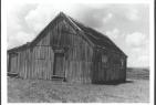
The wharenui that once stood at this marae, which was also named Okorihi, burnt down in 2003. Ōkorihi marae connects to the maunga named Puhangatohora and to Punakitere River.
Find us on:
https://www.facebook.com/groups/512845622087677
Address
Contact Details
Key Information
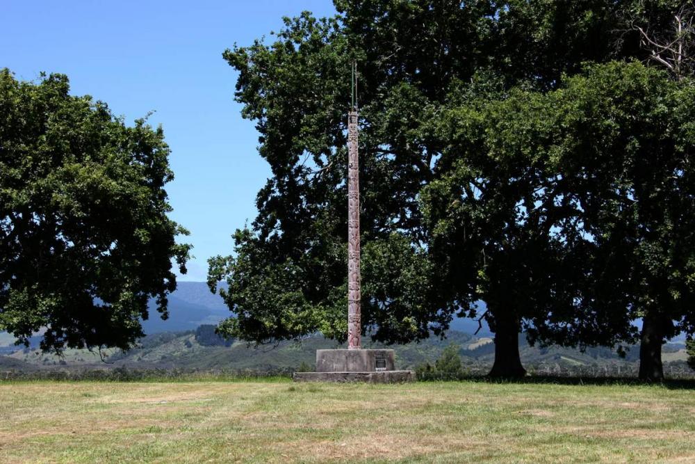
Taonga
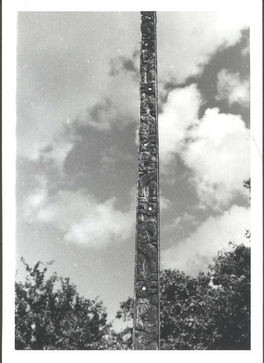
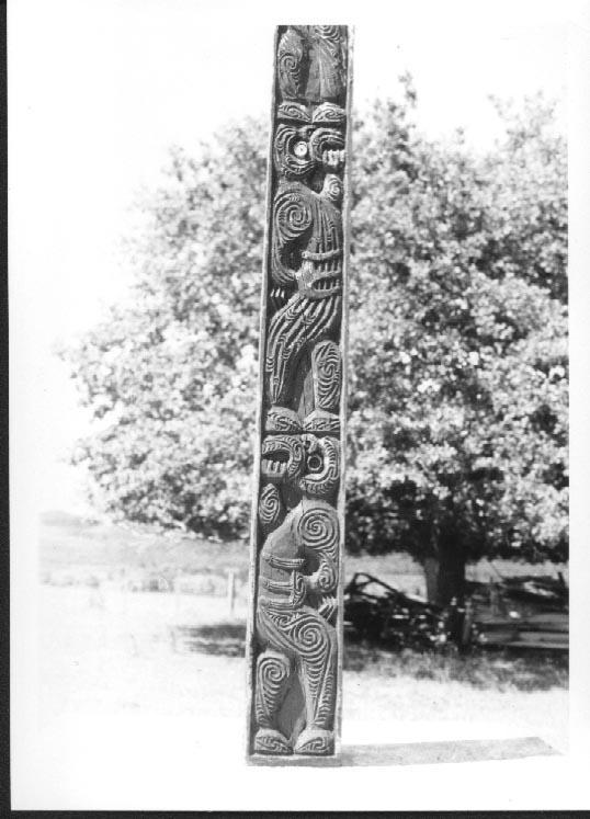

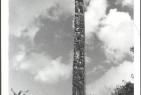


Taonga Information:
Taurapa - Link to information on the Auckland War Memorial Museum site